4077 HF MAP & TRACK

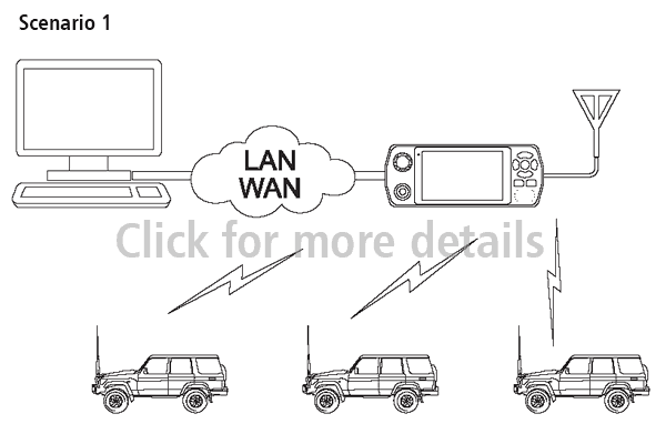
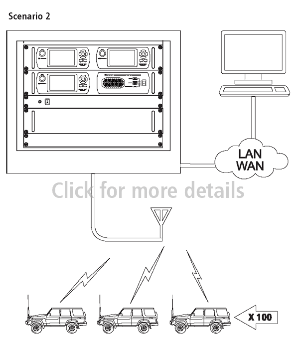
Monitoring the position of mobile assets is critical to their effective management in both marine and land mobile environments. The Barrett 4077 HF Map & Track solution provides situational awareness for commercial, non-government and government agencies alike, including fishing fleets, long distance haulage, emergency response including police and defence force deployments. When paired with a Barrett 4050 HF SDR Transceiver, the Barrett 4077 HF Map & Track system effectively eliminates the field operator’s need to manually send GPS transmissions. The Barrett 4050’s “GPS Push” option automates multiple channel encrypted GPS transmissions and the Barrett 4077 Map & Track system displays the received position and track history on down-loadable multi-level mapping software.

Example Scenarios

Features

Asset positions appear in the Barrett HF Map & Track program as soon as a GPS position is received via HF radio. Each asset’s icon is automatically repositioned providing live geo-locational tracking.

For each 24 hour period, the GPS History can be played back showing one or more asset’s positions as breadcrumb trails across the map with corresponding GPS coordinates.

The 4077 HF Map & track software gives the user the option of four unique map types: standard, dark, terrain and sea marks.

All of these maps are open source and are saved to the hard drive of the operating PC as each area is downloaded so as to ensure operability of the system even in locations where internet is unreliable.

The Barrett 4077 HF Map & Track requires very little operator input. The display and icons are large and easy to read with multiple zoom levels and simple menus.

When combined with the GPS Push Option, the GPS transmissions from mobile units received by 4077 HF Map & Track are completely automated. This negates the time field operators must spend sending manual encrypted GPS transmissions.

The user can define areas of restriction, safety and travel in order to monitor the movements of assets. Each is clearly defined in a separate colour – red for a restricted area, green for a safe one and blue for a travel route – and over lays the map but is not intrusive so as to inhibit easy operation.